
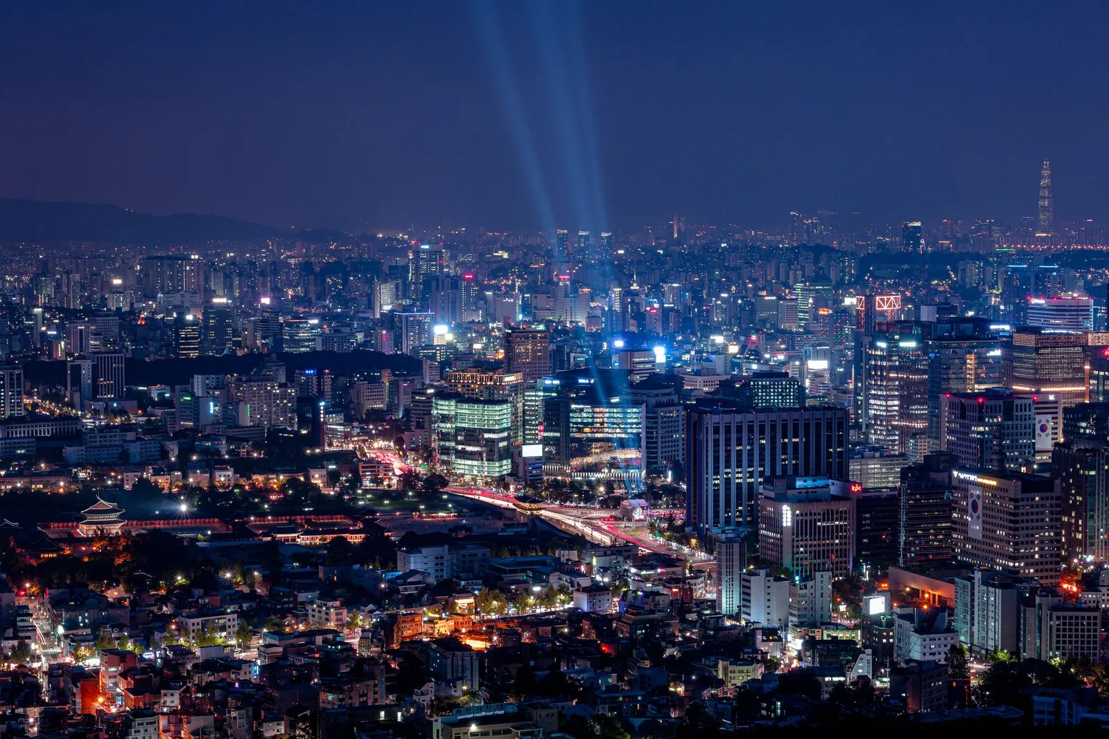
 Seoul by night from Namsan, with searchlights over the cityPhoto: Gije Cho / Pexels
2 days in Seoul: Views & outdoors
2 days of views & outdoors, built around the places foreign visitors rate highest and grouped by neighbourhood so you're never criss-crossing the city. Day 1: City hike, river & sunset. Day 2: Seongsu & the Han River. Every stop is on the map, with Naver and Google links and transit directions between stops.
Every stop, day by day
Pins mark neighbourhoods, landmarks and markets — not specific businesses. Dashed lines show the order, not the walking path; use the "Transit to next stop" links for real directions. Google Maps doesn't do walking directions in Korea — use Naver Map for those.
Day 1 · Inwangsan → Seochon → Yeouido → Banpo
City hike, river & sunset
Seoul's green side: a morning hike with palace views, brunch in Seochon, a bike ride along the Han River and the rainbow fountain at night.
-
08:00
1Inwangsan 인왕산
A short, steep climb along the city wall to views over Gyeongbokgung.
Nearby: Seoul City Wall · Suseong-dong Valley
Read: Hiking in Seoul: Mountains You Can Reach by Subway ↗ - 1.5 km · about 20 min on footRoute in Naver Map
-
11:00
2Seochon brunch 통인시장
Tongin Market's coin lunch box after the hike.
Nearby: Sejong Village Food Street
Read: Seochon: The Quiet Village West of the Palace ↗ - 8.7 km · subway, bus or taxiRoute in Naver Map
-
14:30
3Yeouido Hangang Park 여의도한강공원
Rent a bike and ride the riverside path.
Nearby: The Hyundai Seoul mall · River cruises
Read: The Han River Night Picnic ↗ - 7.5 km · subway, bus or taxiRoute in Naver Map
-
19:30
4Banpo Rainbow Fountain 반포한강공원 달빛무지개분수
Evening light-and-music fountain shows in the warmer months.
Nearby: Some Sevit islands
Read: The Han River Night Picnic ↗
Day 2 · Seoul Forest → Seongsu → Ttukseom
Seongsu & the Han River
Seoul's coolest neighbourhood: a park morning, warehouse cafés and brand pop-ups, then sunset by the river.
-
10:30
1Seoul Forest 서울숲
Lawns, ginkgo paths and a deer enclosure — the slow start.
Nearby: Seoul Forest café streets
Read: Seongsu, Mapped: Seoul's Coolest Neighbourhood ↗ - 2.1 km · subway, bus or taxiRoute in Naver Map
-
12:00
2Seongsu café streets 성수동 카페거리
Brunch and coffee in converted factories — stick to the side streets.
Nearby: Yeonmujang-gil · Handmade shoe street
Read: Seongsu, Mapped: Seoul's Coolest Neighbourhood ↗ - 550 m · about 8 min on footRoute in Naver Map
-
15:00
3Seongsu pop-up streets 성수역
Brand pop-ups and concept stores north of the station. Weekdays are calmer.
Nearby: Concept stores · K-beauty pop-ups
Read: Seongsu, Mapped: Seoul's Coolest Neighbourhood ↗ - 2.7 km · subway, bus or taxiRoute in Naver Map
-
18:00
4Ttukseom Hangang Park 뚝섬한강공원
Sunset picnic — chicken or convenience-store ramyeon by the river.
Nearby: Ramyeon machines · Bike rental
Read: The Han River Night Picnic ↗
- Where to stay: Myeongdong & Jongno is the easiest base — compare the areas in our where to stay guide. Wherever you are, a Climate Card makes the subway unlimited.
- Swap days freely. Each day is a self-contained neighbourhood loop — rain day? Move the outdoor day and see our rainy-day plan.
Add a day: Markets, Myeongdong & Namsan
Namdaemun → Myeongdong → Namsan
See the 3-day plan →Palaces, hanok villages & tea
The culture day — and the one visitors rate highest. Hanbok on for free palace entry, a quiet local lunch, the hanok lanes, a second palace, tea in Insadong and dinner at Gwangjang Market.
Read the guide →Day trip: Suwon Hwaseong Fortress
A UNESCO-listed 18th-century fortress wall you can walk around, a restored palace, and Suwon's famous fried-chicken street.
Read the guide →Every pin in your map
150 places near these stops, with Naver links and a Google My Maps file.
The map pack →Start over
Pick a different number of days or a different style.
Trip planner →