
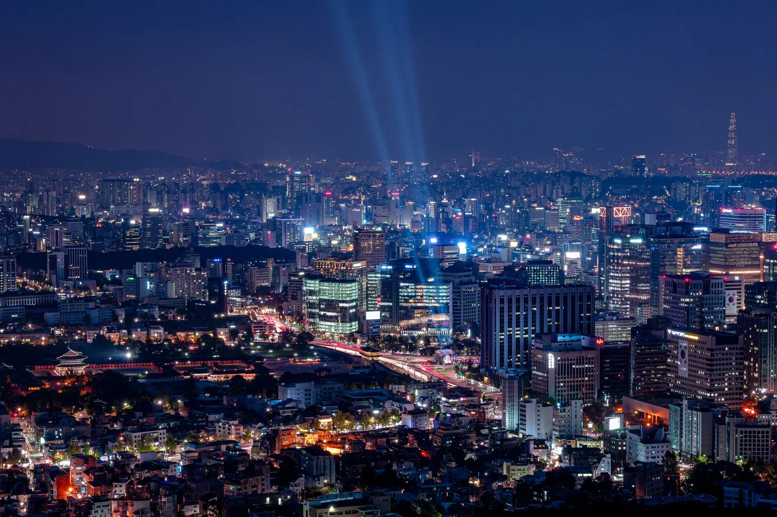
 Seoul by night from Namsan, with searchlights over the cityPhoto: Gije Cho / Pexels
3 days in Seoul: Cafés, shopping & trends
3 days of cafés, shopping & trends, built around the places foreign visitors rate highest and grouped by neighbourhood so you're never criss-crossing the city. Day 1: Seongsu & the Han River. Day 2: Gangnam, COEX & Jamsil. Day 3: Mangwon, Yeonnam & Hongdae. Every stop is on the map, with Naver and Google links and transit directions between stops.
Every stop, day by day
Pins mark neighbourhoods, landmarks and markets — not specific businesses. Dashed lines show the order, not the walking path; use the "Transit to next stop" links for real directions. Google Maps doesn't do walking directions in Korea — use Naver Map for those.
Day 1 · Seoul Forest → Seongsu → Ttukseom
Seongsu & the Han River
Seoul's coolest neighbourhood: a park morning, warehouse cafés and brand pop-ups, then sunset by the river.
-
10:30
1Seoul Forest 서울숲
Lawns, ginkgo paths and a deer enclosure — the slow start.
Nearby: Seoul Forest café streets
Read: Seongsu, Mapped: Seoul's Coolest Neighbourhood ↗ - 2.1 km · subway, bus or taxiRoute in Naver Map
-
12:00
2Seongsu café streets 성수동 카페거리
Brunch and coffee in converted factories — stick to the side streets.
Nearby: Yeonmujang-gil · Handmade shoe street
Read: Seongsu, Mapped: Seoul's Coolest Neighbourhood ↗ - 550 m · about 8 min on footRoute in Naver Map
-
15:00
3Seongsu pop-up streets 성수역
Brand pop-ups and concept stores north of the station. Weekdays are calmer.
Nearby: Concept stores · K-beauty pop-ups
Read: Seongsu, Mapped: Seoul's Coolest Neighbourhood ↗ - 2.7 km · subway, bus or taxiRoute in Naver Map
-
18:00
4Ttukseom Hangang Park 뚝섬한강공원
Sunset picnic — chicken or convenience-store ramyeon by the river.
Nearby: Ramyeon machines · Bike rental
Read: The Han River Night Picnic ↗
Day 2 · Sinsa → Apgujeong → Samseong → Jamsil
Gangnam, COEX & Jamsil
Modern Seoul, west to east along the south bank: brunch on Garosu-gil, the K-pop bears, the Starfield Library, a thousand-year-old temple and sunset from one of the world's tallest towers.
-
11:00
1Garosu-gil 가로수길
Boutiques, cafés and K-beauty on a tree-lined street.
Nearby: Serosu-gil side streets
Read: Gangnam Beyond the Song: COEX, Temples and Shopping ↗ - 2.1 km · subway, bus or taxiRoute in Naver Map
-
13:00
2Apgujeong & K-Star Road 압구정 로데오
The K-pop bear statues and Rodeo Street fashion.
Nearby: Cheongdam flagships
Read: A K-Pop Fan's Guide to Seoul ↗ - 3.4 km · subway, bus or taxiRoute in Naver Map
-
15:00
3COEX Starfield Library 코엑스 별마당도서관
Seoul's most photographed interior — free.
Nearby: COEX Aquarium · COEX Mall
Read: Gangnam Beyond the Song: COEX, Temples and Shopping ↗ - 750 m · about 10 min on footRoute in Naver Map
-
16:00
4Bongeunsa Temple 봉은사
A 1,200-year-old temple across the road from the mall.
Nearby: Templestay programs
Read: Gangnam Beyond the Song: COEX, Temples and Shopping ↗ - 5.2 km · subway, bus or taxiRoute in Naver Map
-
18:00
5Lotte World Tower & Seokchon Lake 롯데월드타워
Sunset from Seoul Sky, then a walk round the lake.
Nearby: Lotte World · Seokchon Lake
Read: Gangnam Beyond the Song: COEX, Temples and Shopping ↗
Day 3 · Mangwon → Yeonnam-dong → Hongdae
Mangwon, Yeonnam & Hongdae
The young, creative west side: a local market, a riverside picnic, the park on an old railway line, then Hongdae's buskers, karaoke and clubs.
-
11:00
1Mangwon Market 망원시장
A local market with cheap croquettes, fried chicken and snacks.
Nearby: Mangridan-gil cafés
Read: Seoul's Traditional Markets, Compared ↗ - 900 m · about 12 min on footRoute in Naver Map
-
13:00
2Mangwon Hangang Park 망원한강공원
Eat your market haul by the river.
Nearby: Bike paths
- 3.1 km · subway, bus or taxiRoute in Naver Map
-
15:30
3Yeonnam-dong 연남동 경의선숲길
Cafés and people-watching along the Gyeongui Line Forest Park.
Nearby: Yeontral Park lawns
Read: Hongdae After Dark ↗ - 1.3 km · about 17 min on footRoute in Naver Map
-
18:00
4Hongdae street performances 홍대 걷고싶은거리
Buskers and K-pop dance crews from early evening.
Nearby: Chimaek pubs · Themed cafés
Read: Hongdae After Dark ↗ - 650 m · about 9 min on footRoute in Naver Map
-
21:00
5Hongdae after dark 홍대입구역
Noraebang, bars and clubs. Plan your ride home — the subway stops around midnight.
Nearby: Coin karaoke · Sangsu cocktail bars
Read: Hongdae After Dark ↗
- Late nights: the subway stops around midnight. Plan a taxi or night bus home, or stay near where you go out.
- Where to stay: Seongsu is the easiest base — compare the areas in our where to stay guide. Wherever you are, a Climate Card makes the subway unlimited.
- Swap days freely. Each day is a self-contained neighbourhood loop — rain day? Move the outdoor day and see our rainy-day plan.
Add a day: Markets, Myeongdong & Namsan
Namdaemun → Myeongdong → Namsan
See the 4-day plan →Museums, Itaewon & Hannam
A world-class free museum in the morning, then Seoul's most international neighbourhood — halal lunch, design shops in Hannam and a relaxed night out.
Read the guide →Palaces, hanok villages & tea
The culture day — and the one visitors rate highest. Hanbok on for free palace entry, a quiet local lunch, the hanok lanes, a second palace, tea in Insadong and dinner at Gwangjang Market.
Read the guide →Every pin in your map
150 places near these stops, with Naver links and a Google My Maps file.
The map pack →Start over
Pick a different number of days or a different style.
Trip planner →